FieldCoPilot — AI-powered field monitoring for farmers
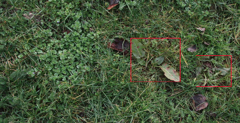
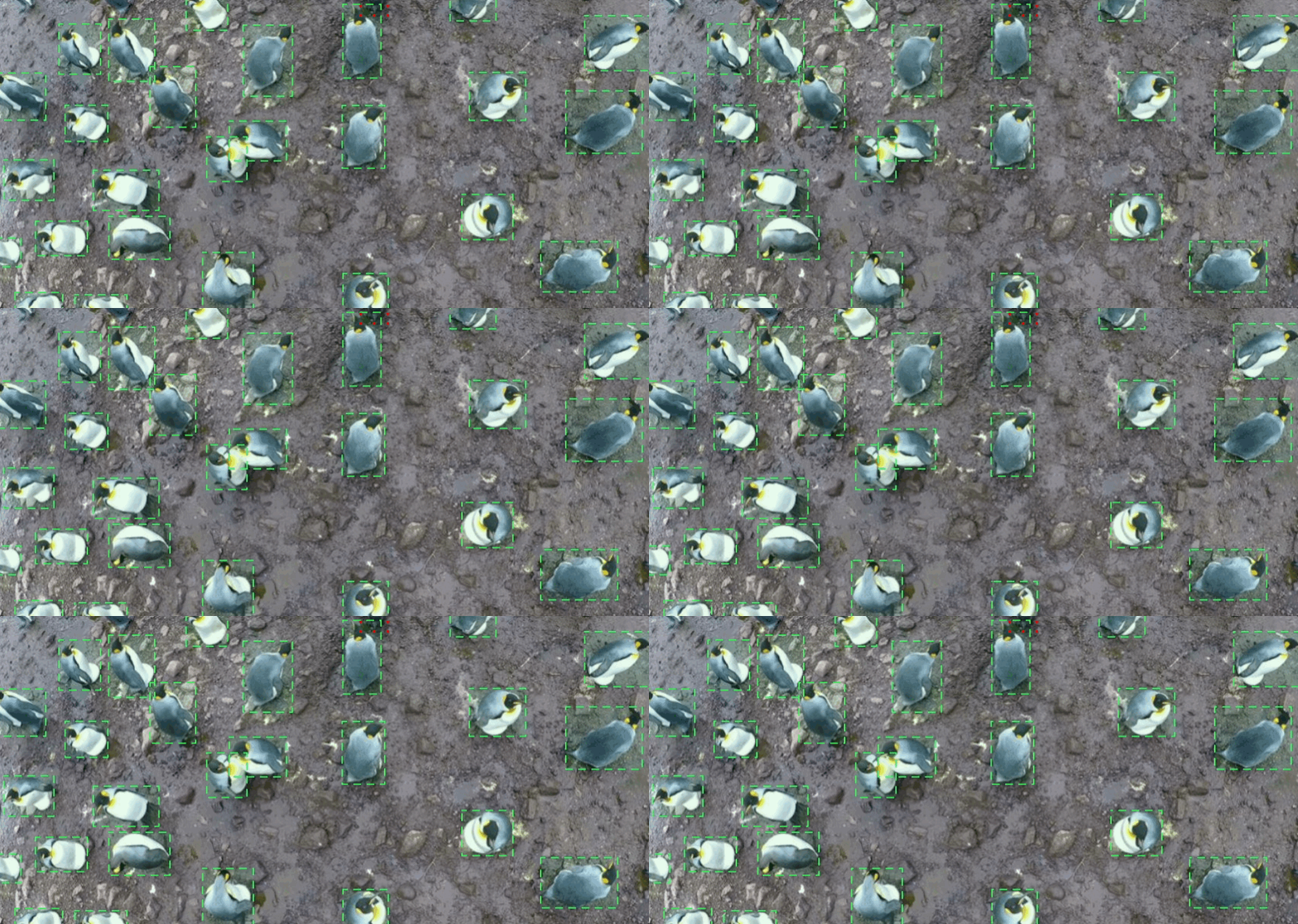
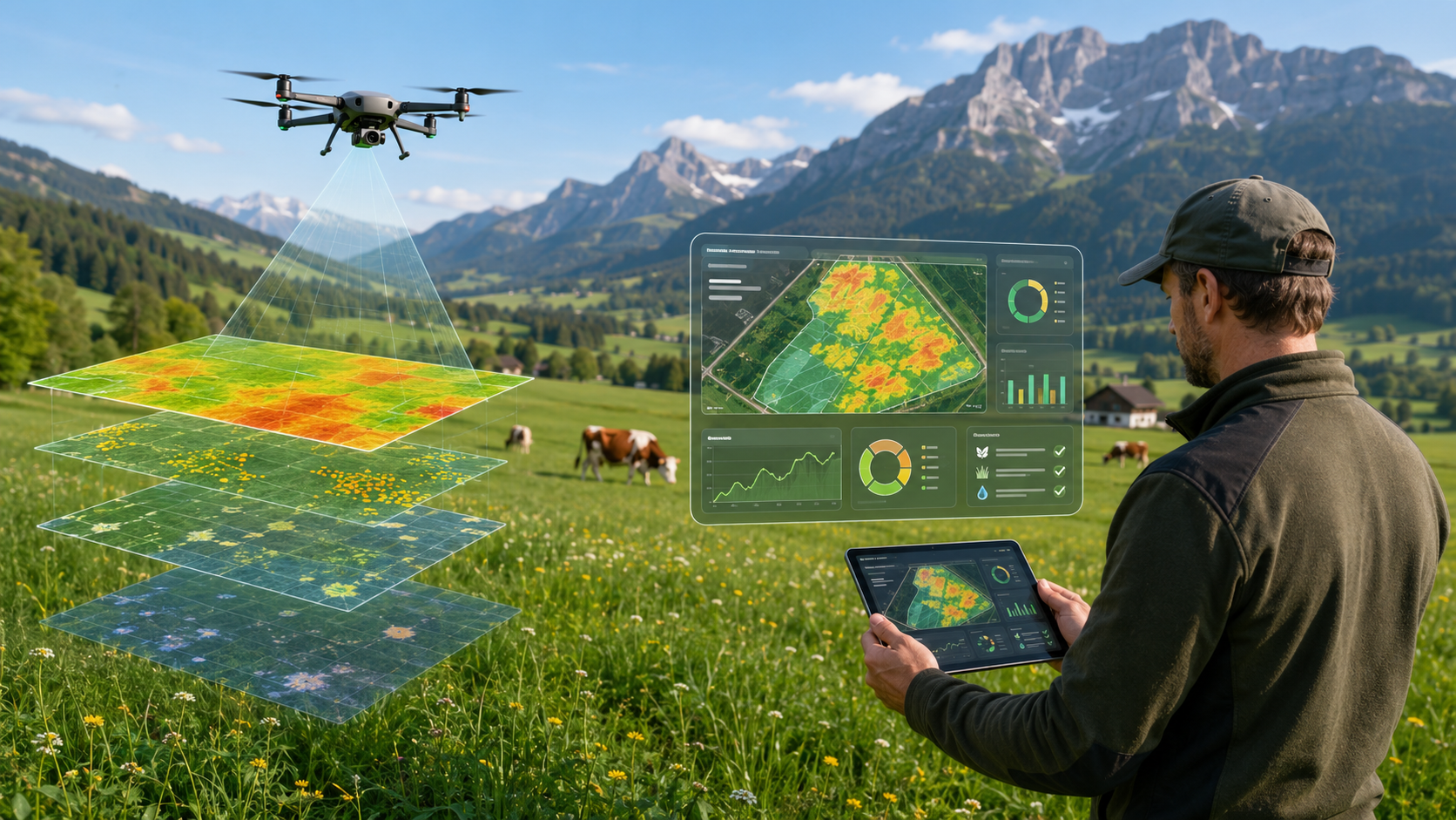
A Pixtell product applying computer vision to drone imagery for continuous monitoring of meadows and crops. Designed to give farmers actionable visibility across their fields without manual inspection at every growth stage.
Operating environment
Outdoor agricultural land with seasonal variation, changing light conditions, and diverse crop and meadow types across variable terrain.
System scope
Drone image processing pipeline, detection and classification logic, and structured outputs designed to integrate into farm management workflows.
Business relevance
Reduce the time between field observation and decision, and lower reliance on manual walk-throughs across large or fragmented land areas.
In collaboration with